The winter of 2025–2026 for the Hudson Valley looks poised to be a season of contrasts: a higher-than-usual chance of active storm tracks and above-normal precipitation paired with persistence of cold intrusions when the jet stream allows Arctic air to spill south. Forecasters from the Climate Prediction Center (CPC) and other agencies entered the season watching uncertain ENSO conditions. ENSO-neutral with a real possibility of a brief La Niña episode in the fall and early winter, which tends to favor a more active northern-tier storm pattern that can translate into colder, snowier episodes for parts of the Northeast.
Some early forecasts hint at a slightly southward-shifted storm track in December, which favors snow events inland over rain along the coast. By late January into February, however, the jet stream is expected to oscillate more dramatically, potentially setting the stage for “Miller B” redevelopment systems, where storms reform off the Mid-Atlantic coast and intensify as they move toward New England. For the Hudson Valley, this could mean several high-impact snowstorms, especially if cold air remains locked in place during these storm cycles.
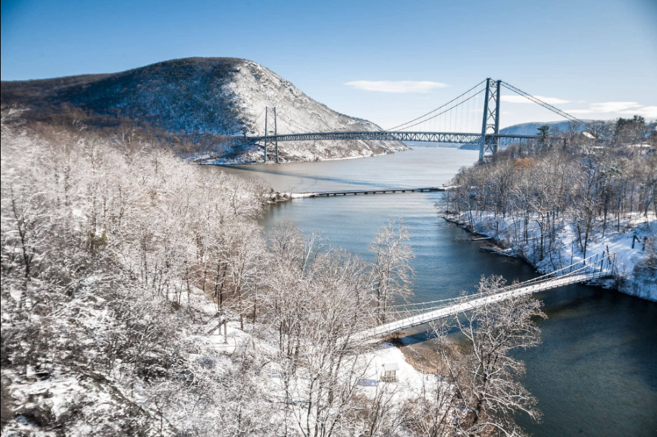
When compared with historical winters, the 2025–26 season is shaping up to resemble some of the region’s classic snowy years. The setup shows similarities to winters like 2010–11 and 1993–94, which both featured an active storm track paired with cold intrusions that kept precipitation primarily snow. Average snowfall in Poughkeepsie over the last 30 years sits around 42 inches, but during those benchmark winters totals exceeded 60 inches, with prolonged snow cover well into March. The Hudson Valley’s geography also plays a role in amplifying storm impacts, as cold air damming along the east side of the Appalachians often locks in low-level cold even when upper-air temperatures moderate. Historically, this has led to significant snow-to-ice events, where early heavy snow transitions to sleet and freezing rain, a risk that remains elevated this year given the projected storm track and moisture supply. If the current outlook holds, Winter 2025–26 may join the ranks of Hudson Valley winters remembered for their frequent nor’easters, extended cold snaps, and above-average snowfall totals.
Seasonal outlooks from NOAA-linked reporting and long-range forecasters point toward above-average storminess for much of the Northeast, meaning the Valley will likely see more frequent synoptic systems capable of producing measurable snow or rain, with the exact balance driven by short-term cold-air availability during each event.
Because the Hudson Valley sits between the coast and the higher interior elevations, small shifts in a storm’s track will determine impacts: storms that track a bit offshore are more likely to deliver a band of heavy snow into the valley, while storms that hug the coast or pull warmer air inland will bring rain or a mixed-precipitation event instead.
Clipper systems and fast-moving Alberta lows that sweep through quickly are going to be abundant this winter, clippers drop about 3 – 6 inches, but with the amount expected they will have a big impact this winter. The truly heavy snowfalls will most often correlate with slower lows that deepen near the Mid-Atlantic or offshore and then wrap moisture westward across the Hudson corridor.
Historically the Hudson Valley’s snowfall is variable from town to town like in Albany and the higher inland sites average substantially more snow than low-elevation river towns. Albany’s 1991–2020 seasonal normal sits near roughly 59 inches, while Poughkeepsie and other lower-elevation Hudson Valley communities typically average in the 40–50-inch range, with Dutchess County climatology often cited around the upper-40s; interannual swings are large, and extreme seasons (both low and high) are common. That long record of variability means that even in a season that’s “near-normal” on paper, residents should expect a few high-impact storms and some comparatively quiet stretches.
Putting this season in recent context, the winters of the last decade have alternated between above-average, blockbuster nor’easter seasons and relatively muted, warm winters. So, 2025–2026’s tendency toward active storm tracks represents a return to the kind of snowy winters the Valley remembers, albeit moderated in places by a generally warming baseline climate. Researchers and operational centers also emphasize that warmer background temperatures allow storms to carry more moisture, so when cold exists the resulting snow can be heavier and wetter and lead to greater accumulation rates and impacts on roads, trees, and power lines. At the same time, the same warming trend increases the chance that marginal storms will change to rain in the valley’s lowest elevations, enhancing flood and ice risks rather than pure snowfall totals.
The practical takeaway is simple: prepare for volatility. The most likely scenario for the Hudson Valley in winter 2025–2026 is a season with more frequent storms and several high-impact events rather than a steady, light-snow winter but exact local outcomes will hinge on storm tracks and short-term cold-air availability. Keep winter gear and snow-removal plans current, monitor local NWS products for coastal versus inland track differences that can flip forecasts from rain to feet of snow, and expect late-season surprises; historical records show the Valley can swing quickly from mild stretches to significant snowfall during a single winter.